Menu
News and Events
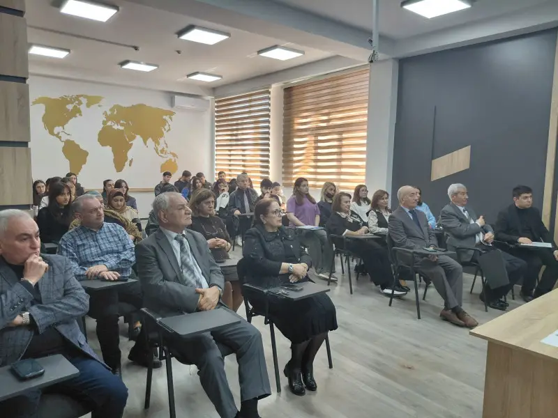
A masterclass on the topic “application of satellite data in urban planning and cadastre” was held at the Faculty of Geography of Baku State University (BSU) within the framework of the “year of urban planning and architecture.”
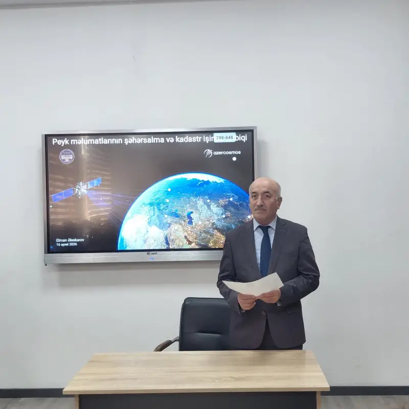
The masterclass was delivered by Elman Alaskarov, Senior Product Development Specialist at the Geographic Information Systems (GIS) Center of Azercosmos.
Dean of the Faculty of Geography, Professor Maqsad Gocamanov, highlighted the importance of using satellite data in the organization of modern urban planning and cadastral work. He emphasized the significance of satellite observation, remote sensing, and the application of geographic information systems in this field.
In his presentation, Elman Alaskarov provided detailed information on the characteristics of satellite data, the processing of satellite imagery through geoinformation technologies, and its application in urban planning and city development. The capabilities of modern satellites for Earth observation and the advantages of real-time data analysis were also highlighted.
It was noted that satellite data is an effective tool not only in urban planning and cadastre, but also in monitoring urban environmental conditions, studying the impacts of natural disasters, and analyzing urban heat island (UHI) effects caused by infrastructure density. The presentation also covered geomatic technologies, global and regional satellite navigation systems, cadastral mapping, and thermal imaging.
Elman Alaskarov also spoke about projects implemented by Azercosmos in various fields of satellite data application, highlighted internship opportunities for students, and informed participants about the annual Earth remote sensing competition organized by the agency.
During the seminar, Professor Maqsad Gocamanov, Associate Professors Saleh Nagiyev, Ramiz Akhlimanov, Irada Aliyeva, Senior Lecturer Mubariz Orucov, and other participants emphasized the relevance of the topic, noting the innovative nature of the presented methodological approach and recommending further scientific research in this direction.
SDG 4 (Quality Education), SDG 9 (Industry, Innovation and Infrastructure), SDG 11 (Sustainable Cities and Communities)